street view image
This block is part of the google group and was last modified in core v14.0.4.
street view image v14.0.4 Fetches a static Street View image for a specific location and heading
- flow
flow - api key required
valueYour Google Maps Platform API key with Street View Static API enabled
- latitude required
numberThe latitude of the location
- longitude required
numberThe longitude of the location
- heading
numberCompass heading of the camera (0-360). 0=North, 90=East, 180=South, 270=West • Min: 0 • Max: 360
- pitch
numberUp/down angle of the camera (-90 to 90). 0=horizontal, 90=up, -90=down • Min: -90 • Max: 90
- fov
numberField of view in degrees (10-120). Lower values = more zoom • Min: 10 • Max: 120
- size
valueImage size in WIDTHxHEIGHT format. Maximum 640x640 (Google API limit)
- signature
valueURL signing secret for request security (optional, does not increase size limit)
- flow
flow - success
conditionReturns true if the image was fetched successfully
- image
fileThe Street View image file
- error
value
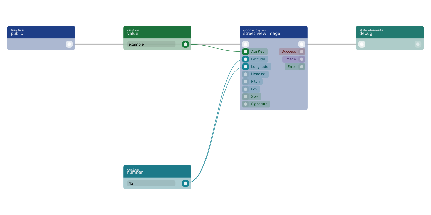
A typical wiring for street view image: a function trigger starts the flow; value feeds the api_key pin; number feeds the latitude pin; number feeds the longitude pin; the flow out pin feeds debug.
Version history
Introduced in v14.0.4.
Service documentation
External API reference This block wraps a third-party service. Click here for the service's own documentation of the underlying endpoint.Back to
google Return to the main group to view all sub-groups Back to google places Return to the group to view all blocks within this group