land cover
This block is part of the geopoint group and was last modified in core v15.0.0.
land cover v15.0.0 Resolves a geo point to a terrain / land-cover type (urban, agricultural, forest, grassland, wetland, water, bare, coastal). Offline raster lookup (Benelux, simplified CORINE).
In pins 1
- geo point required
geo_pointpoint to resolve to a terrain type
Out pins 4
- type
valueland-cover label, e.g. forest / water / urban
- code
numbernumeric land-cover class code
- success
condition - error
value
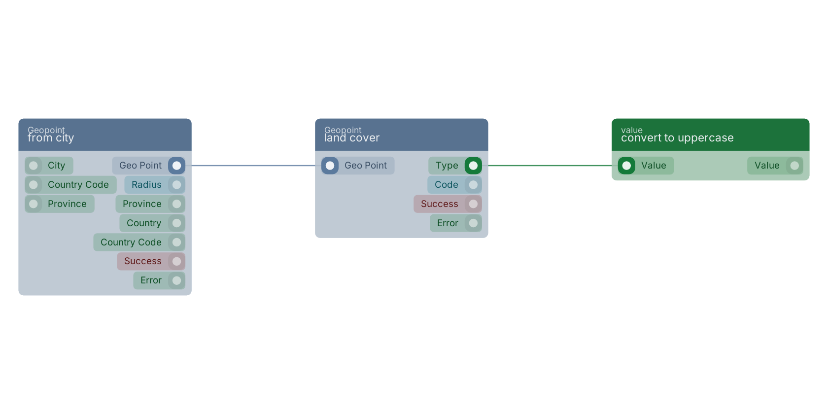
A typical wiring for land cover: from city feeds the geo_point pin; the type out pin feeds convert to uppercase.
Used in these guides
These documentation pages use or explain this block:
Version history
Introduced in v15.0.0.
Back to
geopoint Return to the main group to view all sub-groups Back to Geopoint Return to the group to view all blocks within this group