from city
This block is part of the geopoint group and was last modified in core v15.0.0.
from city v15.0.0 Resolves a city/town name (optionally constrained to a country code, e.g. NL, and a province/state, e.g. Vermont) to a geo point at the city centre, plus the city's radius in metres and its province/country. Offline lookup against the embedded dataset. A city name is not unique within a country : eight US states have a Morristown : so wire province whenever you know it, for example straight from geo point reverse geocode.
- city required
valuecity/town name to look up, e.g. Brummen
- country code
valueoptional ISO country code to disambiguate, e.g. NL. Leave empty to search all covered countries.
- province
v15.0.0valueoptional province/state to disambiguate, e.g. Vermont. Leave empty to search the whole country. When set it must match a place in that province, otherwise the lookup fails with NOT_FOUND rather than returning a same-named city elsewhere.
- geo point
geo_pointpoint at the city centre
- radius
numberapproximate radius of the city in kilometres (population-derived)
- province
value - country
value - country code
value - success
condition - error
valueMISSING_CITY, NOT_FOUND or GEOCODER_NOT_AVAILABLE when success is
false.
geocode |
city to coordinates |
city center |
forward geocode |
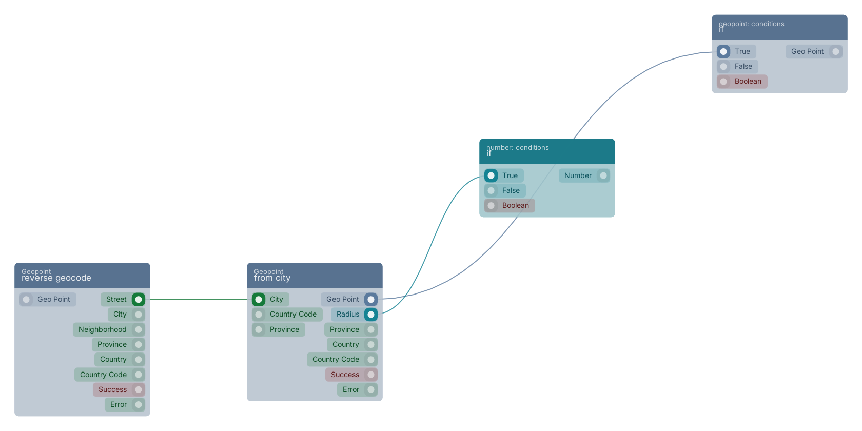
A typical wiring for from city: reverse geocode feeds the city pin; the geo_point out pin feeds if; the radius out pin feeds if.
Commonly used with
In production blueprints, this block is most often wired together with:
- if: this block feeds into it.
- reverse geocode: feeds into this block. Resolves a geo point to the nearest street, city, province and country. City/province/country are nearest-populated-place, and always stay in the country of the nearest known place — a point near a border is never relabelled with a larger city on the other side. Street is the nearest named road (needs the road network loaded).
- if: this block feeds into it.
Used in these guides
These documentation pages use or explain this block:
Version history
Introduced in v15.0.0.
Back to
geopoint Return to the main group to view all sub-groups Back to Geopoint Return to the group to view all blocks within this group