reverse geocode
This block is part of the geopoint group and was last modified in core v15.0.0.
reverse geocode v15.0.0 Resolves a geo point to the nearest street, city, province and country. City/province/country are nearest-populated-place, and always stay in the country of the nearest known place : a point near a border is never relabelled with a larger city on the other side. Street is the nearest named road (needs the road network loaded).
- geo point required
geo_pointpoint to resolve to a street/city/province/country
- street
valuenearest named road; empty when none is within range or no road network is loaded
- city
value - neighborhood
v15.0.0valuewijk/district name when the point sits inside a larger city; empty otherwise
- province
value - country
value - country code
value - success
condition - error
value
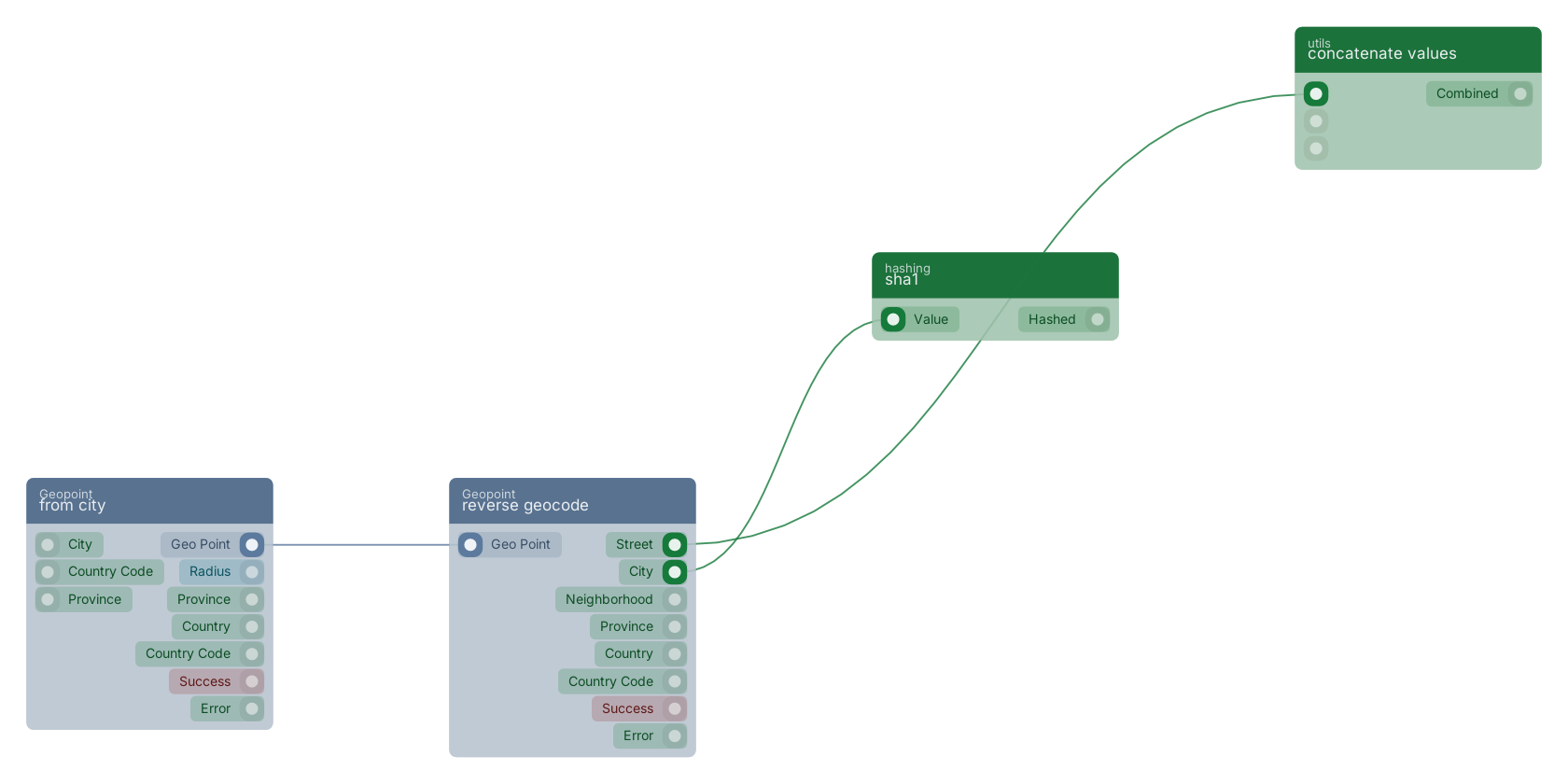
A typical wiring for reverse geocode: from city feeds the geo_point pin; the street out pin feeds concatenate values; the city out pin feeds sha1.
Commonly used with
In production blueprints, this block is most often wired together with:
- set fields: this block feeds into it. Generates an array of mutations based on the given filled fields.
- concatenate values: this block feeds into it.
- get fields: feeds into this block. Gets the selected fields from the given object.
- sha1: this block feeds into it.
- AND: this block feeds into it. operator for a set of boolean operands will be true if and only if all the operands are true.
- is not empty: this block feeds into it. checks if the value is filled (not empty).
Used in these guides
These documentation pages use or explain this block:
Version history
Introduced in v15.0.0.
Back to
geopoint Return to the main group to view all sub-groups Back to Geopoint Return to the group to view all blocks within this group