snap to network
This block is part of the geopoint group and was last modified in core v15.0.0.
snap to network v15.0.0 Snaps a geo point onto the nearest road or railway (road/track pinning). Outputs the snapped point and how far it moved. Offline lookup against the road/rail network (Benelux, OpenStreetMap).
In pins 2
- geo point required
geo_pointpoint to snap
- type
valuefeature to snap to: road or rail
Out pins 4
- geo point
geo_pointsnapped point on the nearest feature
- distance
numberdistance in metres the point was moved
- success
condition - error
value
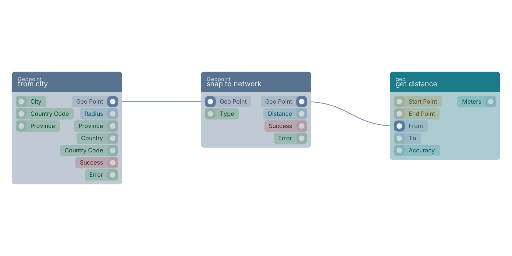
A typical wiring for snap to network: from city feeds the geo_point pin; the geo_point out pin feeds get distance.
Used in these guides
These documentation pages use or explain this block:
Version history
Introduced in v15.0.0.
Back to
geopoint Return to the main group to view all sub-groups Back to Geopoint Return to the group to view all blocks within this group